Crop registration app with GPS integration for Kraakman
Our solution
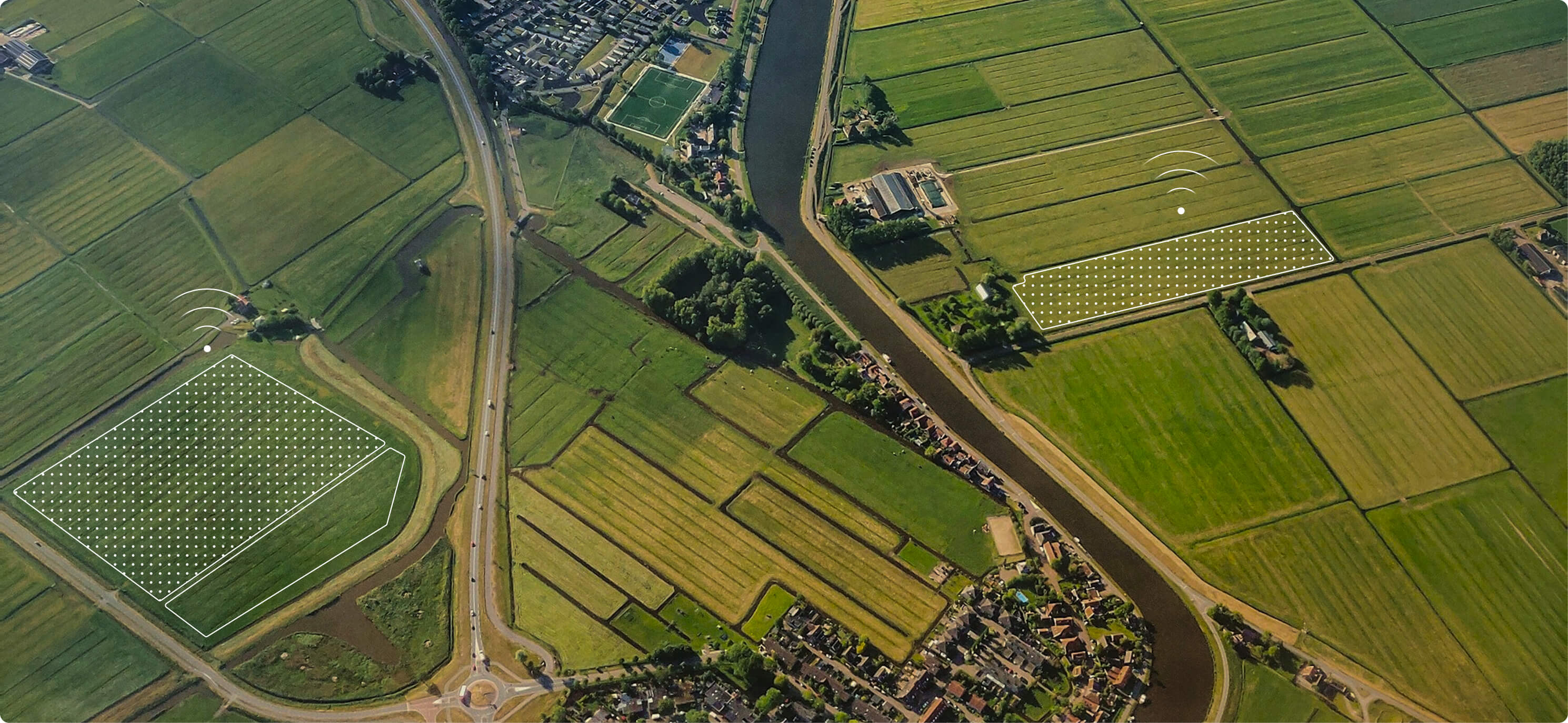
Thanks to the new crop registration app, Kraakman can view, edit and export all their fields and crop records at a glance. The tool processes huge amounts of GPS data very quickly and makes it visually visible via Mapbox.
Locations connected to the system
GPS records processed per registration
Export formats including automatic reports
The challenge
Kraakman wanted to record their crop records in a smarter and faster way. The existing process was time-consuming, cumbersome and did not provide a clear overview of all fields. In addition, the application had to be able to process huge amounts of GPS data without the user noticing.
- A user-friendly crop registration application
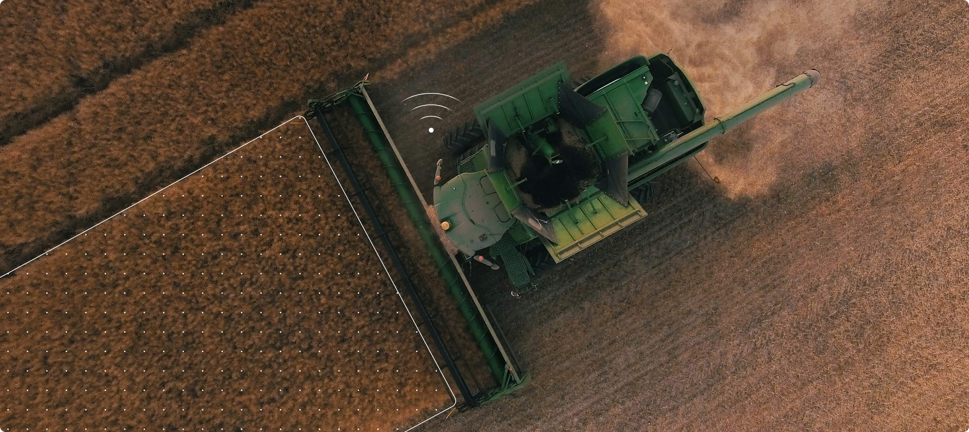
- Automatic data reading via the John Deere API
- Efficient processing of huge GPS data sets
- Editing, reporting, and exporting capabilities
Onze aanpak
Result
We built the project step by step, with intensive consultation and many visual examples. This enabled us to translate the technical challenges into a simple, logical user experience that works for everyone.
- Intensive collaboration with weekly reconciliation and demos
- Analysis of reference projects to translate wishes into functions
- Technical choices:
- Front end: ReactJS + TypeScript
- Visualization: Mapbox
- Back-end: Symfony + John Deere API connection
- Features developed:
- Converting GPS data to lines and polygons
- Area calculations (ha, m², Rheinlandse Roede)
- Interactively edit and delete on the map
- Export to Excel, PDF and KML
- Varieties of locator exports for real-time machine information